For the millions of people living in Vietnam’s Red River Delta, water has always been both a lifeline and a threat. The delta’s rivers supply water to rice paddies and cities, its channels carry goods to markets, and its coastal communities depend on agriculture closely tied to seasonal rhythms. But those rhythms are shifting. Flooding is intensifying, saltwater is advancing inland, and the country’s infrastructure, built for more stable conditions, is increasingly struggling to cope. Through IPDC, Dutch and Vietnamese experts joined forces to understand why and what to do about it.
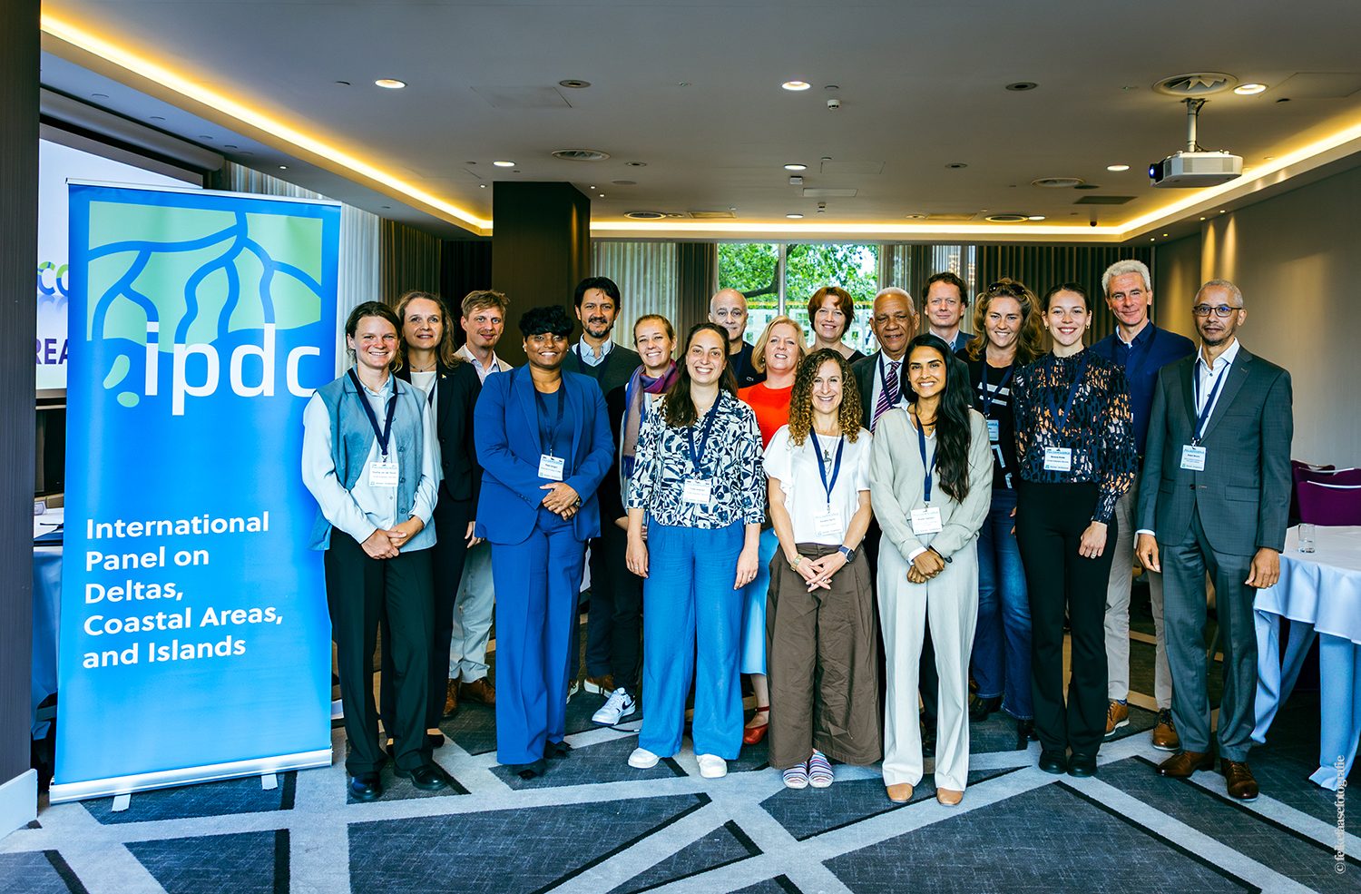
IPDC supported the project with technical expertise, with Deltares as project lead in collaboration with Royal HaskoningDHV and TU Delft, alongside Vietnam’s Department of Climate Change (DCC) and the Institute of Meteorology, Hydrology, Environment and Marine Sciences (IMHEMS).
A delta changing faster than expected
The project team analysed more than 35 years of water level, discharge, and salinity data across the delta. This revealed that the seasonal flood pulse has been weakening for decades. This annual rise and fall in river water is what agriculture and water management across the delta have long been built around. It also showed that the delta’s channels are on average two to three metres deeper
Meanwhile, the influence of the sea is reaching further inland. Tides now travel up to 200 kilometres upstream, into areas well beyond where they would historically have reached. Every year, between 3,061 and 6,122 hectares of agricultural land are affected by drought, saltwater intrusion or irrigation problems – reducing average rice yields up to 10 percent in affected areas.

Why a systems approach matters
These changes do not have a single cause. Sea level rise, land subsidence, sand mining, upstream dams and agricultural water demand all play a role. In fact, they reinforce each other in ways that are hard to see if you only look at one part of the system.
This is why the project started with a delta-wide analysis before zooming in on specific provinces. It also used an AI-powered tool to process the decades of existing research, helping to map the connections between different pressures and their impacts across the whole system. The result gives policymakers a more reliable picture of what is driving change and where the risks are highest.
Ninh Binh Province
With that system-wide understanding in place, the project moved to its second phase: a detailed climate risk assessment for Ninh Binh Province. Here, both flooding and saltwater intrusion pose a growing threat.
The findings show that flood risk in the province is predicted to grow significantly and that saltwater intrusion will reach further inland. Reservoirs, roads and agricultural land will all be at risk in ways that current infrastructure was not designed to handle.
Based on these findings, Vietnamese and Dutch experts are jointly developing a climate adaptation roadmap for the province. It covers water resources, infrastructure and agriculture, and sequences concrete actions through to 2035. The roadmap is grounded in national policy frameworks and designed to be replicable across other provinces in the delta.
For policymakers and local authorities in Ninh Binh Province, this work changes how decisions can be made. Where flood protection and water management were previously planned without a full picture of the risks, they can now draw on an up-to-date, evidence-based understanding of where risks are highest and what needs to happen first.

Lessons for other deltas
The challenges facing the Red River Delta are familiar to many regions around the world. Deltas from the Ganges-Brahmaputra-Meghna to the Nile and the Magdalena are grappling with a similar combination of climate pressures and human impacts. The systems approach applied here draws on a decade of experience in the Vietnamese Mekong Delta and is designed to be replicated elsewhere. Understanding how a delta system works is the first step towards protecting the millions of people who depend on it.
“This project acts as a bridge that turns pure science into practical local action amid the challenges of climate change. By delivering comprehensive risk assessments for core sectors, we envision this as a strong scientific cornerstone that directly empowers strategic planning and decision-making in Ninh Binh Province.” – representative from the Institute of Meteorology, Hydrology, Environment and Marine Sciences, Vietnam
Want to know more about IPDC support in Vietnam and this project? Get in touch with Trang Dinh Phuong at trang.dinh@deltares.nl and Sepehr Eslami at sepehr.eslamiarab@deltares.nl