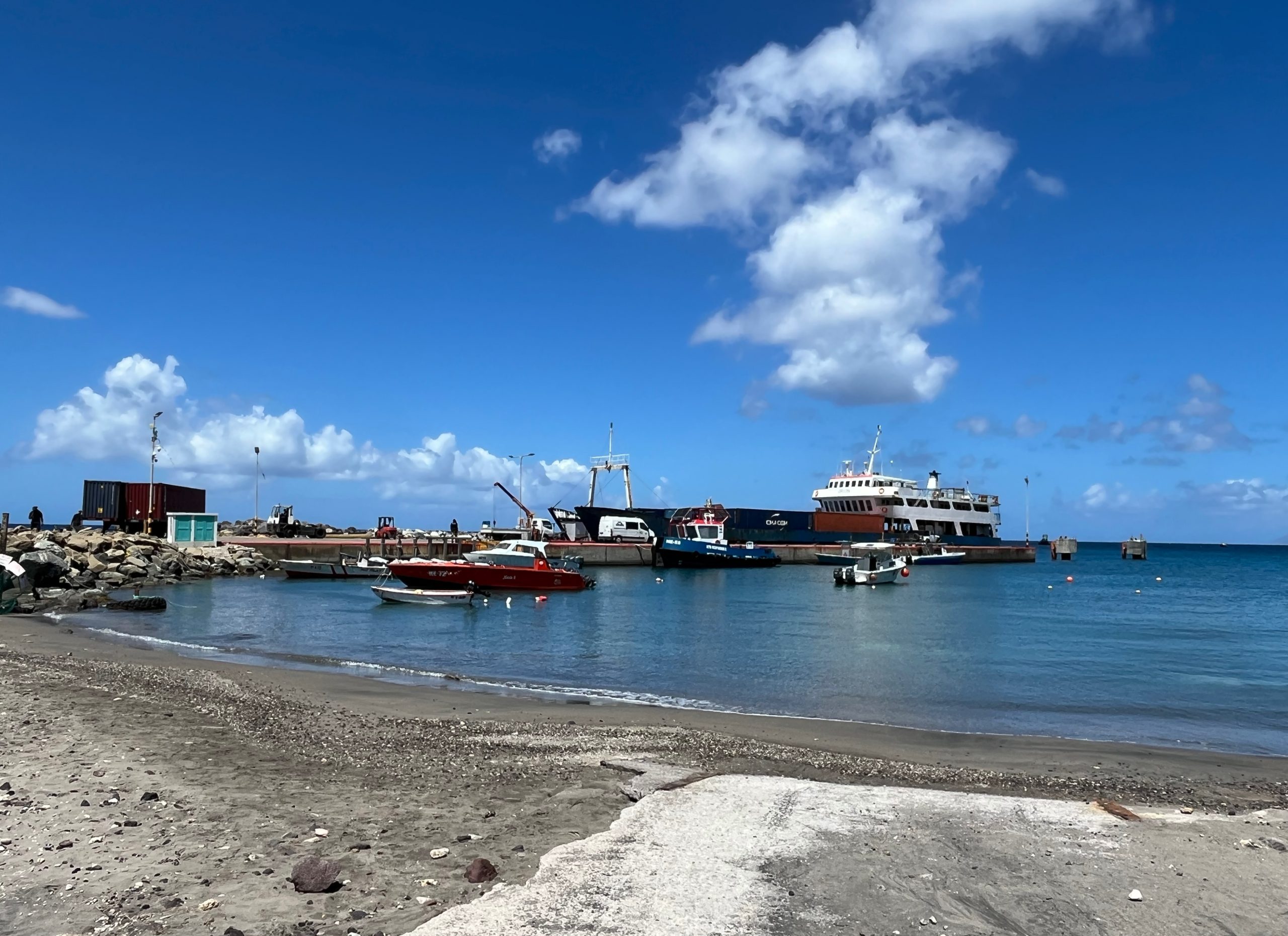
Saint Martin is a small Caribbean island divided between two European jurisdictions: the southern side is an autonomous country within the Kingdom of the Netherlands, the northern side (Saint-Martin) a French overseas collectivity. Across the island, beaches are eroding faster, hillsides are becoming less stable, and storms and hurricanes are becoming more frequent and more devastating. On the southern side – the autonomous country of Sint Maarten – development continues in places that are increasingly at risk, without binding regulations that reflect today’s climate realities. IPDC is working with Sint Maarten to change that, by developing practical guidance to embed climate adaptation into how the island plans and develops.
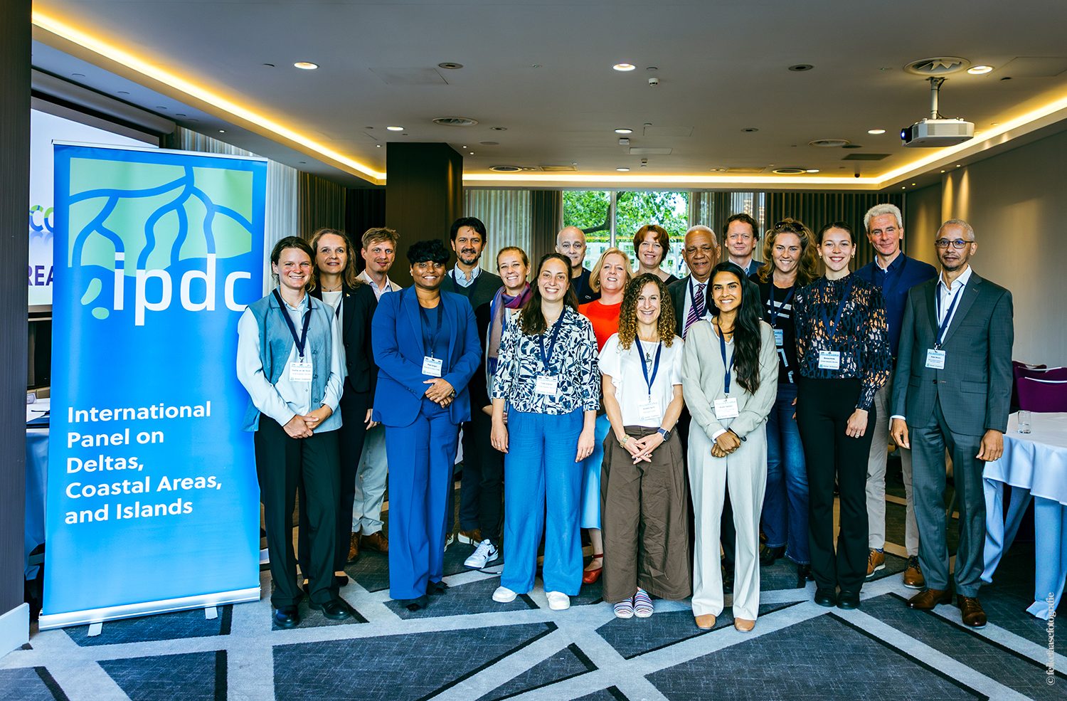
As part of IPDC, Deltares, Witteveen+Bos and Climate Adaptation Services worked closely with the University of St. Martin (USM) and the Ministry of Public Housing, Spatial Planning, Environment and Infrastructure (VROMI) – the institution responsible for Sint Maarten’s spatial planning and the owner of all project outcomes.
An island under pressure
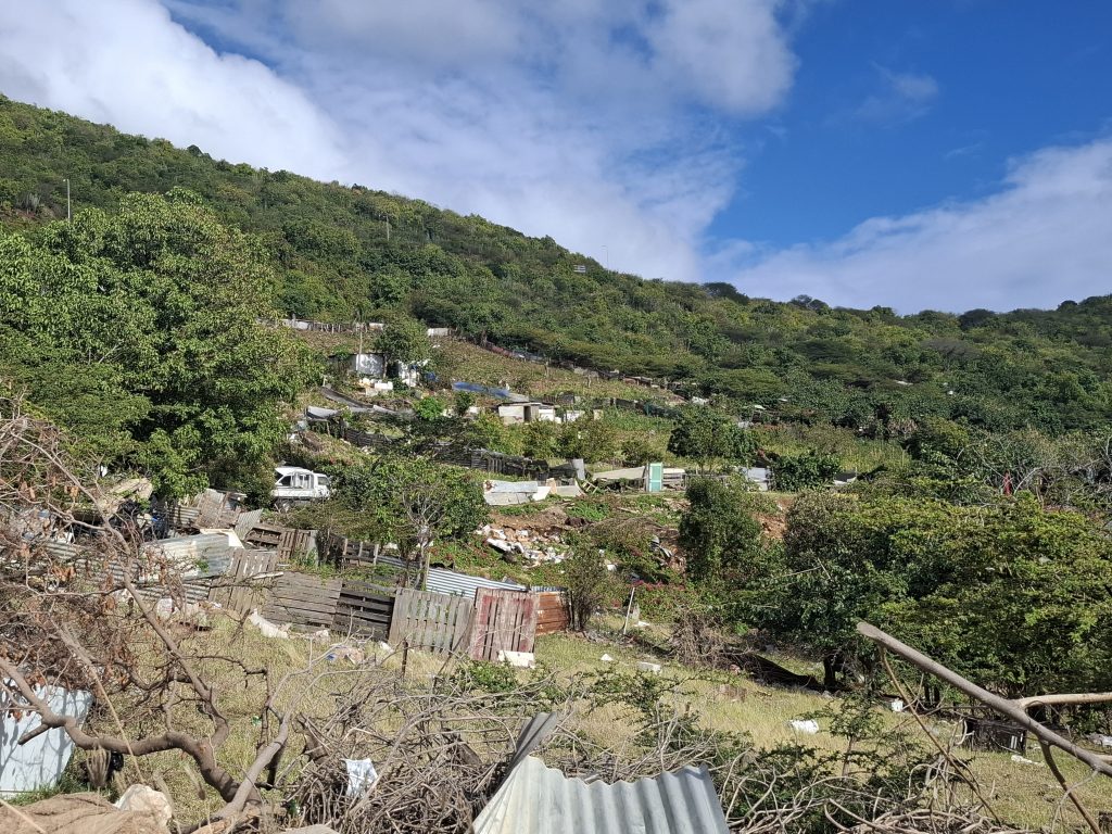
Saint Martin knows what extreme weather can do. Hurricane Luis in 1995 and Hurricane Irma in 2017 were among the most devastating storms in the island’s recent history. Years later, many houses on Sint Maarten remain empty. Foundations were damaged and repairs cost more than most residents can afford. Those still standing are being reinforced with available materials. Meanwhile, new construction continues, including a new hospital with a single access road, which occasionally floods during storm surges. These challenges point to the same underlying need: zoning plans grounded in current climate science, with the tools to assess climate risks before permits are issued.
Rules that do not align with reality
A zoning plan is a legally binding document largely used to assess permits, plan investments and guide neighbourhood development. Sint Maarten currently has 13 draft zoning plans. These are used as guidelines but are not legally binding and do not structurally address climate adaptation. On top of that, the rules determining how close to the sea people can build have not changed since 1994. These were written at a time when climate change projections were limited – and rising sea levels, intensifying storms or accelerating erosion were not yet accounted for in planning decisions. The result: permits are being issued for locations that are increasingly at risk, with no legal basis to refuse them.
For Sint Maarten, the renewed zoning measures will be an overarching tool to address the country’s climate risks holistically: they determine what gets built where, and how Sint Maarten can prevent and reduce the impacts of floods, storms and erosion.
Starting with the people
Shaped by centuries of colonial history and waves of migration, Sint Maarten’s population is culturally and linguistically diverse. An intervention that ignores this complexity risks producing something that works in theory but not in reality. That awareness shaped the decisions in this project, starting with what to call the product: not a framework, but guidance. It is an invitation to co-create rather than structured instructions handed down from abroad. This guidance does not introduce a new planning system. Instead, it identifies possible ways climate requirements can be incorporated into Sint Maarten’s existing zoning plans.
Co-creation was not only an ambition for this project, but also a legal requirement on Sint Maarten, where zoning plans must go through public consultation. As a local knowledge partner, USM spoke with communities across the southern side of the island to understand what climate adaptation means to them. For many Sint Maarteners, climate adaptation is more than an abstract policy goal. It means food on the table and having a home that can withstand the next hurricane or earthquake. This perspective underpins what the project is trying to achieve.
Building the evidence base
The guidance follows two clear lines. First, that spatial development should allow Sint Maarten to cope with climate impacts such as sea-level rise, extreme rainfall, heat stress, storm surges and hurricanes. Second, that zoning regulations should actively enable measures that support preventing developments that would increase climate and socioeconomic risks. To address this, the guidance integrates three domains: spatial planning and policy, environment and disaster risk management, and contextual knowledge from local stakeholders and communities.
“We built the guidance together with VROMI and USM so they can use it, adapt it and build on it as Sint Maarten’s climate needs evolve.” – Shahnoor Hasan, Senior Researcher on Water Governance and politics of development, Deltares
Two technical studies, on topics identified by VROMI, provide the evidence base. A coastal erosion study uses satellite imagery and modelling to calculate new setback lines for Sint Maarten’s four most vulnerable beaches. These will replace the 1994 standards with boundaries that reflect current and future climate conditions. A second study set out to map landslide risk in Sint Maarten’s hillside areas, where deforestation and unregulated development have made slopes increasingly unstable.
But the project hit a barrier early on. The landslide study required baseline data that did not exist. Rather than producing a risk model the data could not support, the team adjusted the scope together with VROMI. The result was a map showing which hillsides are most at risk of instability. It is a practical planning tool that tells decision-makers where to be cautious and lays the groundwork for more detailed assessments once monitoring data become available.
A new foundation for safer development
The project leaves VROMI with a practical, five-phase guidance that it can apply to future zoning revisions. This will ensure that decisions about where building is permitted, how far from the coast, and which hillside areas need protection are based on up-to-date erosion data and landslide risk maps. It makes it possible to steer development away from areas that are at risk and prevent vulnerable areas from becoming more exposed. The guidance will also be shared with counterparts on the northern side of the island as a potential resource for climate-adaptive planning across Saint Martin as a whole.
As VROMI will use the guidance to update Sint Maarten’s zoning plans, this work will also feed into the island’s National Adaptation Strategy, which IPDC is supporting in parallel. In doing so, the projects support the plan of the government of Sint Maarten to make zoning plans a legal foundation for the country’s response to climate change.
What other islands can take from this
Sint Maarten’s experience holds lessons beyond the island. Existing planning instruments are a viable starting point for a national strategy. And no external party can do meaningful work on a Caribbean island without first understanding its histories: colonial, demographic, and cultural. That learning has to come from the people, not from a desk.
Want to know more about IPDC’s work in Sint Maarten? Get in touch with Shahnoor Hasan at Shahnoor.Hasan@deltares.nl.