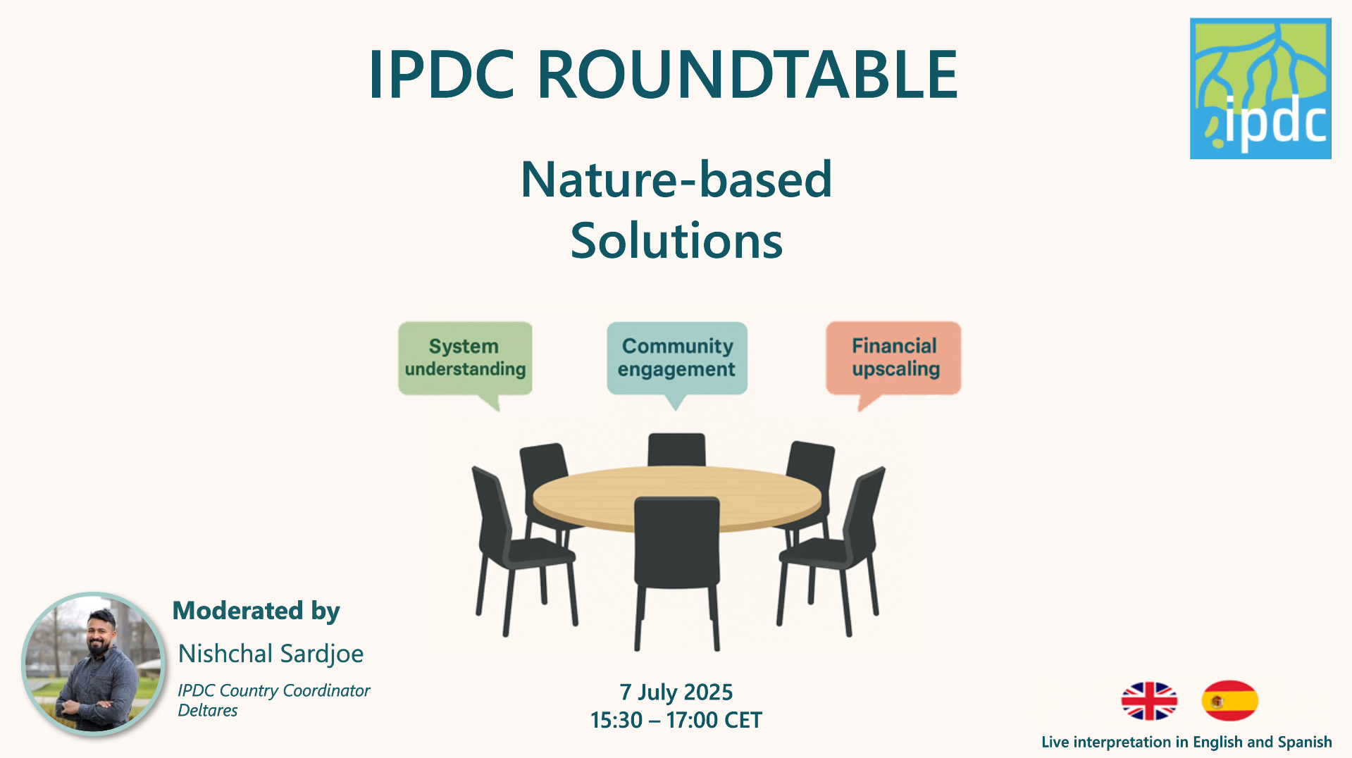
Global climate model projections cannot, in most situations, be directly used to inform local scale adaptations. An IPDC online session, moderated by Dr. Helena van der Vegt – Head Resilient Ports and Coasts Department at Deltares -, looked at how global climate models often miss local features and their influence on hazards. Additionally, the session explored alternative methods, including downscaling using regional climate models. Finally, the Asian Development Bank (ADB) shared their experiences in operating in data-poor regions, navigating uncertainty, and leveraging available tools for tailoring investment decisions.
Global climate models
Prof. Dr. Roshhanka Ranasinghe, AXA Chair in Climate Change Impacts and Coastal Risk at IHE Delft, provided background information on global climate models (GCMs), explaining that most climate projections use GCMS. Although these are useful for determining future trends, they spatial resolution is not high enough to inform local adaptation measures. Regional Climate Models (RCMs) provide an alternative instead and are often more capable of capturing local trends and observations. To forms of downscaling were set out:
- Dynamical downscaling: features RCMs that capture complex terrain and weather systems, although this is computationally expensive and time-consuming. The quality of these climate models is also dependent on the quality of the GCM.
- Statistical downscaling: uses statistical relationships between GCM and local observation using statistics. This alternative is faster and less resource intensive.
Case studies: the Red Sea and West Africa
Following this introduction, Dr. Ali Dastgheib, Associate Professor of Coastal Engineering and Port Development at IHE Delft, illustrated more of the challenges around using global climate projections by using two case studies.
Red Sea
The Red Sea is a narrow area, which means it is difficult to capture with the right resolution. Moreover, global models cannot see topographical features, leading to uncertainties. Area specific challenges, such as wind influenced by topographical features, are also not adequately accounted for. To address these challenges. Wave models were created to take into account local features such as wind, rainfall, and evaporation. Using this bias correction and comparing it to their other data measurements generated better results, including predictions in the seasonal variability of the mean sea level.
West Africa
Islands such as Sao Tomé are too small to be captured by GCMs, which also do not correctly capture local extreme weather events. In the case of Sao Tomé, they found that using the trends included in the GCM was more accurate than relying on the absolute GCM values. Lessons learned from this case study include that downscaling data can provide more accurate results than GCM, but that it should always be compared to data from measurements. Additionally, it is important to engage with local knowledge to capture the whole picture.
Navigating investment decisions in data-scarce climate contexts
Dr. Alessio Giardino, Senior Climate and Coastal Adaptation Specialist at the Asian Development Bank (ADB), gave an insight into the Bank’s investment decisions in data-scarce regions. The consequences of data scarcity were discussed, including higher uncertainty, risk of maladaptation, and potential financial underperformance.
The ADB uses data throughout its project cycle and strategic documents. It faces challenges such as fragmented data sources and a limited availability of high-quality data which makes decision-making on a local scale difficult. Furthermore, a lack of standardization creates barriers in sharing information between agents. There is also insufficient capacity for data analytics, which makes decision-making difficult. The ADB therefore relies on secondary, global and field data. It is also developing a tool to look at high-level risks.
The ADB’s experience shows that data scarcity should not be seen as something to delay action, but it should support it. They also stress the importance of partnerships to fill data gaps and ensure data is accessible. Furthermore, innovating data and tools and ensuring inclusivity are important for the decision-making.
Watch the session
Couldn’t make it on the day? Watch the recorded session.